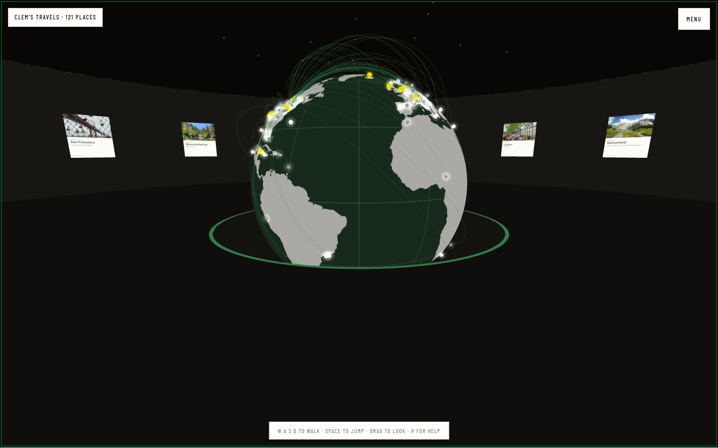
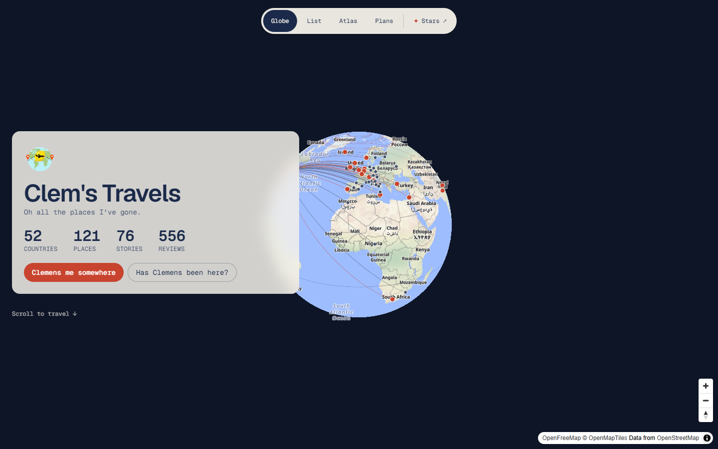
Clem’s Travels is a globe of every place I’ve written about. This is the same set of places as a room you walk around. It lives inside the 3D Walkthrough: beside the rotunda’s home arch, a doorway full of stars leads to a dark round room with a globe sunk into the middle of the floor. Stars, at the end of the travels site’s menu, brings you straight in.
What’s in the room
Every place is a pin on the globe, 121 of them, and the lines arcing over it are the trips, each from where it started. The globe holds still and you walk round its rim to see the other side of the world.
The fifteen places I’ve written the most about hang round the wall as cards, each with the photo the travels site already hosts for it. Only eight places have more than one post, so the last seven spots go to the earliest trips. Their pins glow yellow on the globe.
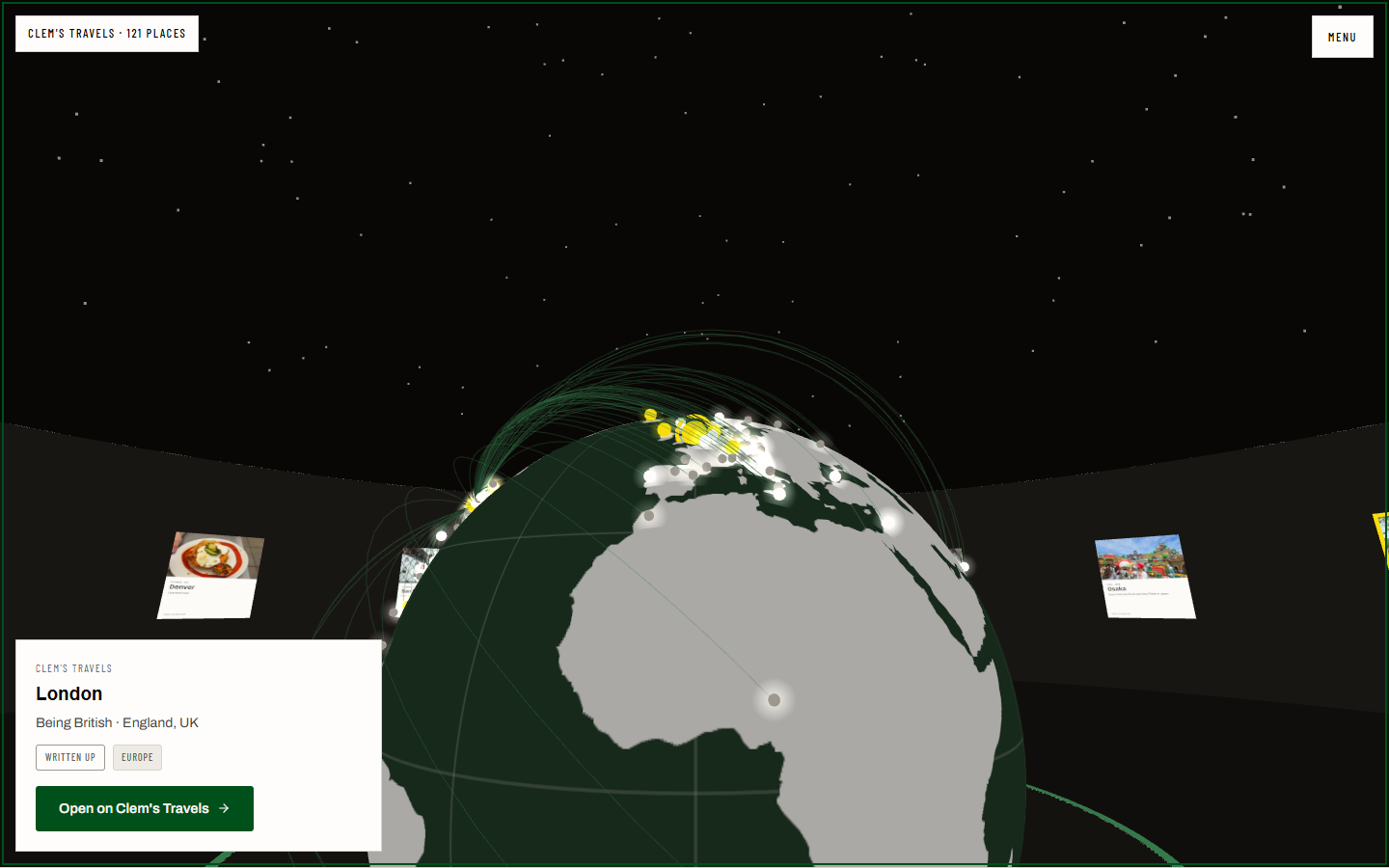
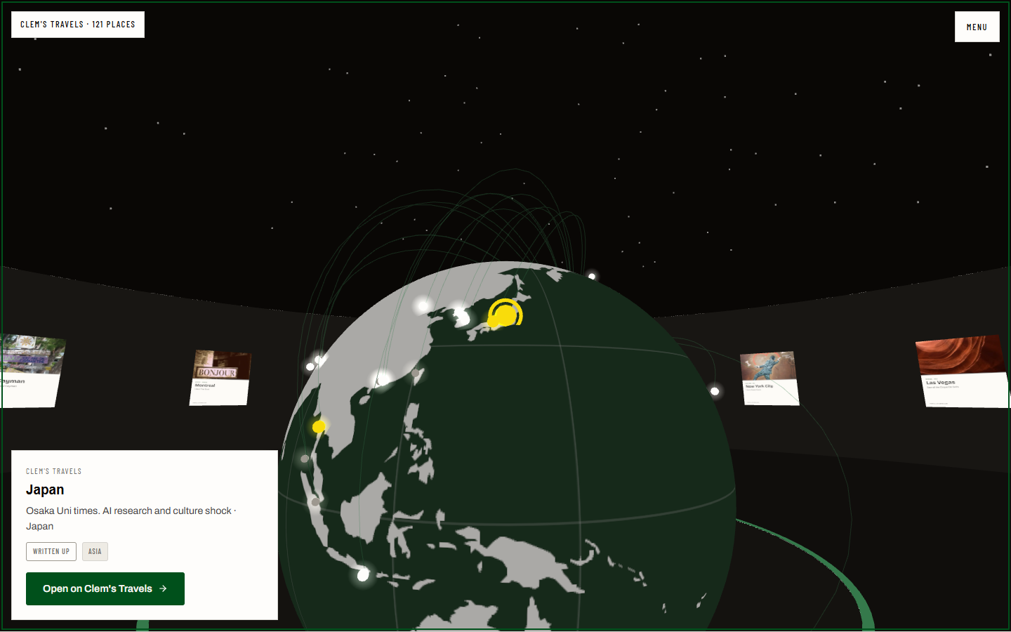
Look at a pin or a card and the place’s card opens. Jump at it, or press Enter, and you’re on that place’s page on the travels site. Back brings you to the same place, looking at its pin. Tab walks you round the globe from west to east, one place at a time.
Why the globe is in a pit
The first version was a sky of stars. Each place sat at its own longitude around you and its own latitude up the dome. It was accurate and gave no sense of where anything was, so it became a globe.
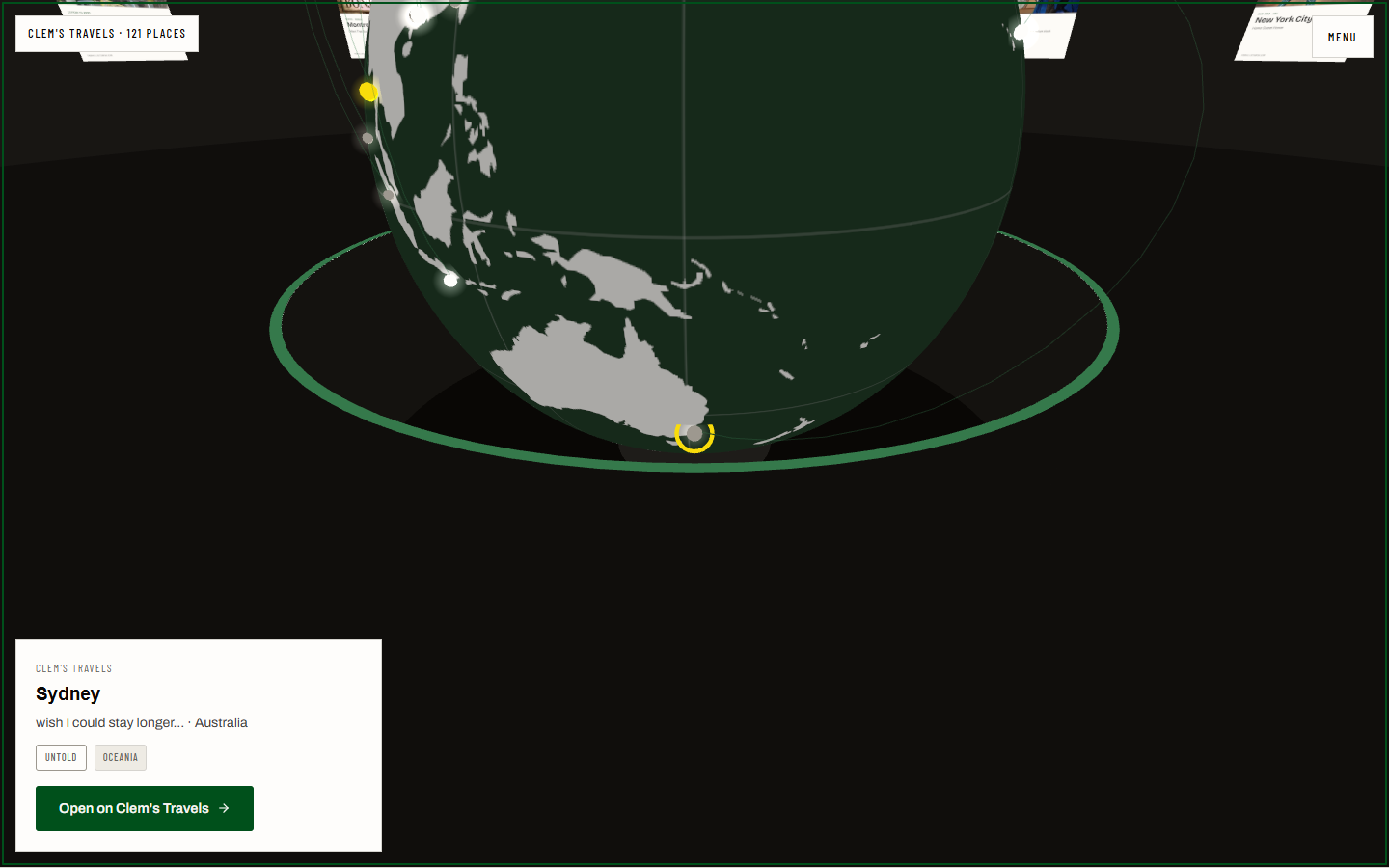
At eye level the globe had a different problem. Half my places are north of 40°, and on a globe level with your eye they crowd its top edge, where you see them side-on. Iceland was hidden behind the globe from the spot meant to show it. So the globe sits in a pit, with its center under your eye, the way museums show a big one. From the door, London went from 12% to 35% square-on, and Sydney, the furthest south, still shows over the rim.
How it’s built
The data is a snapshot, not a live feed. A script reads the travels site’s place list and keeps only what the room draws: name, tagline, coordinates and where the trip started. It copies the fifteen photos and writes the continents from Natural Earth’s public-domain outline, projected by the d3-geo the travels site already uses. The page paints the land onto the globe once. No post text is copied. Every place links out, the same rule the travels site follows itself.
Picking a place is plain geometry. A pin on the far side of the globe is out of sight, so a line from your eye to the pin that passes through the globe never picks it. Those rules are in the same node --test suite as the rest of the walk: 52 checks. Each new check was watched failing against a deliberate break, such as a mirrored globe, a card in front of the gate, or a globe back at eye level. A browser test walks in, looks at a wall card, and opens a place link on its card.
The room is a thousand meters from the gallery, past the fog, so neither one is ever in view from the other. Inside, you see it in first person, because from behind your own shoulders the globe hides half the wall. It draws in 20 to 23 calls.